User:Ojw/Switzerland
Introduction[edit]
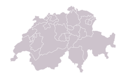
We've been having a discussion on Wikipedia:Image recreation requests about possible ways to replace this image with various others. Welcome to the discussion, and pitch-in with any ideas you have.
Most of the images below can be modified in lots of ways if you have any suggestions to try, or download the XCF file for GIMP and play with it yourself. Or start another discussion based on another map! All ideas welcome here...
First draft[edit]
Light version[edit]
 Ojw 23:32, 3 Feb 2005 (UTC)
It's a nice idea, but kind of... busy. The lighter version is definitely easier to see. But shouldn't it have the names and abbreviations of each? Is that blue thing on the bottom left a lake or a canton? - Omegatron 00:00, Feb 4, 2005 (UTC)
- Whiten out the flags to almost nothing, a thinner border, and black abbreviated labels? Some of the cantons are too small to even appear on that map, which will add messiness anyway if we try to label them. Ojw 12:44, 4 Feb 2005 (UTC) (That's lake geneva b.t.w.)
- We'll also get the plain version "for free" just by removing a couple of layers once the labels are done, so don't despair if you don't like the flags! I would put up an XCF file for people to play with, but don't know wikipedia's policy on posting those... Ojw 12:44, 4 Feb 2005 (UTC)
- Uploading XCF would seem to make a lot of sense – you could link to it [[Media:Swiss_Cantons.xcf]] on the description page of the image that's used, and others would then find it much easier to make derivatives of higher quality. I've considered it myself but don't know about any policy. Kbh3rd 15:50, 5 Feb 2005 (UTC)
Light, labelled[edit]
 Ojw 20:05, 4 Feb 2005 (UTC)
Better. Could you make the letters black, with a white outline? That way we could read, for instance, the SO. – Quadell (talk) (sleuth) 19:23, Feb 7, 2005 (UTC)
Brown, labelled name[edit]
Misspelling of Valais (and name of Grisons, accent on Zurich)- Count the cantons?
- Blotches on Uri
BlankMap version[edit]
This style of map is often used in Wikipedia for creating other maps.


